
![]()
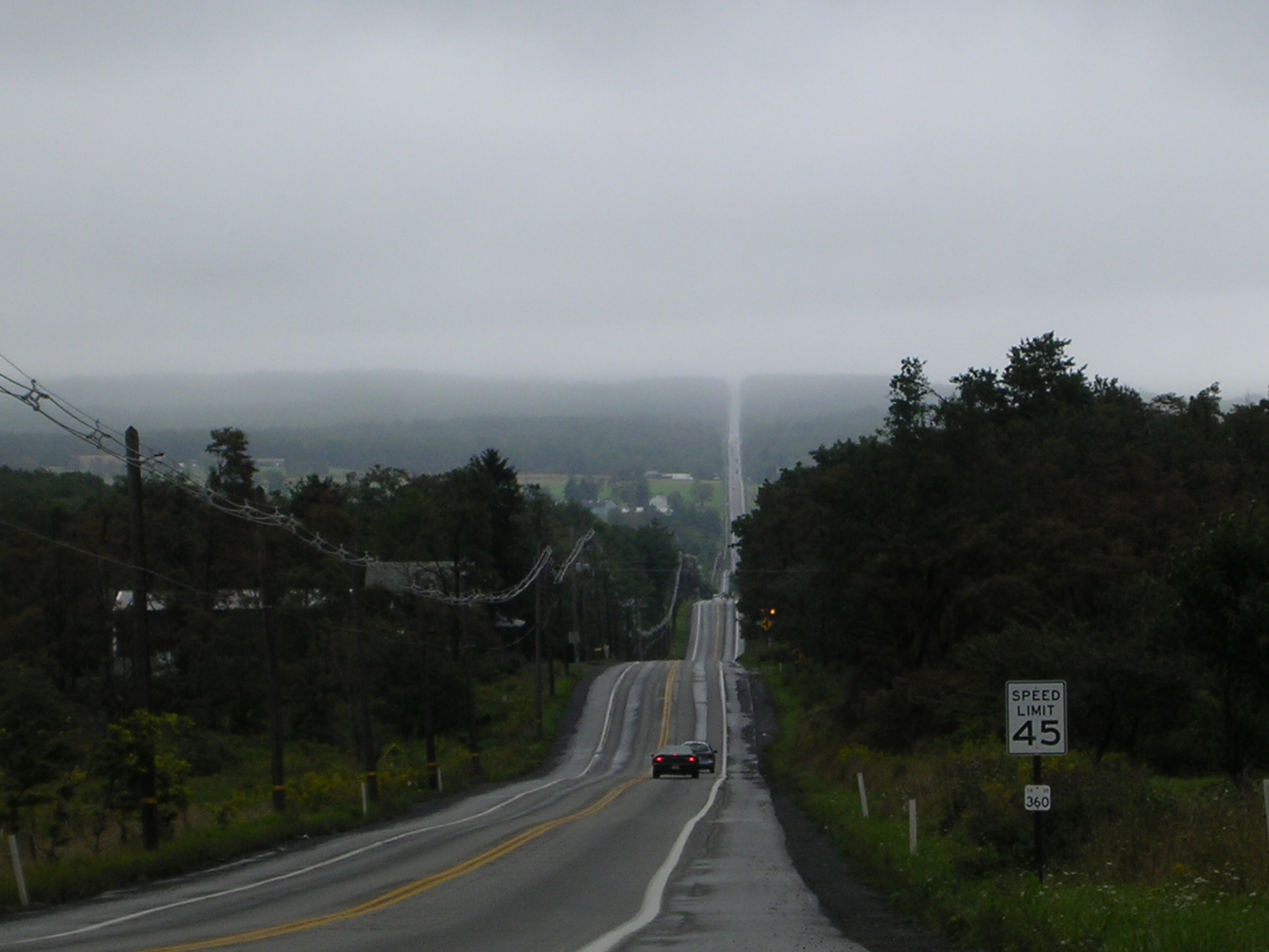
A view of the Buckstown valley from just above Stoyestown on the state road. Allegheny Mountain is in the distance
|
General Information Biographies Cemeteries Census History News and Notes Maps Surname Links Towns and Villages Tax Lists
| Welcome to Shade Township! I am the coordinator
for these pages. I have been researching in Somerset County--Particularly in
Shade Township and surrounding area--for over 10 years. I have collected a wealth
of information and am familiar with most of the early pioneers of Shade. I do not live
local to the area so am in need of volunteers for local data and photos.
I would like to see this site grow with information----FROM YOU!
Please Contact Me
General Information Shade township was incorporated in 1816. The township was first settled in 1772 and was formed from Stoneycreek Township, which was one of the six original townships in Somerset County. Shade Township is located in the north-eastern portion of the county. It is bounded to the north by Ogle and Paint Townships; to the west by Quemahoning Township; to the south by Stoneycreek Township; and to the east by Bedford County. The main Borough of Shade Township is Central City which was first settled in 1848 and was incorporated on 6 May 1918. Hooversville, which sits astride the border of Shade and Quemahoning Townships was first settled in 1836 and was incorporated in 1896.
Cemetery Transcriptions These cemeteries were transcribed by Leroy Baldwin, Daryl A. Reed, Hope Weigle, Sandra Carey in July of 1999. Many have been updated as recently as November 2000! Thanks for all the hard work on getting these cemeteries online!!
U.S. Census Schedules Thank you to Richard Earl Mangus, Louise Pletcher, T.D. Wilcox and Jan Garber for transcribing and proofreading these census files!
History of the Township The following information is taken from the book "Shade Township, 1762-1962" by Leroy N. Baldwin. The Shade-Central City Historical Society has Mr. Baldwins books on sale at their museum in Central City. You can call Sandy Wojcik, president of the society at 814-754-5675 or Maryann Naret, keeper of the museum at 814-754-4997 to purchase a copy. Shade township was incorporated in 1816. The township was first settled in 1772 and was formed from Stoneycreek Township, which was one of the six original townships in Somerset County. Shade Township is located in the north-eastern portion of the county. It is bounded to the north by Ogle and Paint Townships; to the west by Quemahoning Township; to the south by Stoneycreek Township; and to the east by Bedford County. The main Borough of Shade Township is Central City which was first settled in 1848 and was incorporated on 6 May 1918. Hooversville, which sits astride the border of Shade and Quemahoning Townships was first settled in 1836 and was incorporated in 1896. The Founding of Shade Township The province of Pennsylvania was acquired by the Penn brothers, William and John, from King Charles II of England, in payment of a debt the king owed their father, Admiral John Penn, for which William received a charter from King Charles II, dated March 4, 1681. William divided his province into three counties, which he often spoke of as the three counties on the Delaware, namely, Chester, Philadelphia, and Bucks. Because of the rapid increase of settlements on the western frontier it soon became apparent that a new county should be formed from the western part of Chester County for the convenience of the inhabitants of the newly settled region. Therefore the new county of Lancaster was set up in 1729. The westward movement of settlements still continued and soon another new county, Cumberland County, was formed from the western part of Lancaster County, in 1750. And with the continued advance westward, Bedford County was erected in 1771, from a part of Cumberland County. Almost twenty-five years later, the inhabitants of the western section of Bedford County, lying west of the Allegheny Mountains, petitioned the General Assembly of Pennsylvania to form a new county. These people living west of the mountains stated in their petition that the great mountain wall or escarpment formed an almost inaccessible barrier to communication and trasportation between the two regions, also claiming that they were almost remote from the county courts and the public offices of the county (Bedford). As a result of these petitions and the insistence of the inhabitants of this western section, the General Assembly passed an act on April 17, 1795, whereby all that part of Bedford County lying west of the Allegheny Mountains became a new county called Somerset. Somerset County at the time of its organization included all of Cambria County as far north as the "Old Purchase Line," north of Ebensburg, and consisted of six townships, namely, Stonycreek, Quemahoning, Turkeyfoot, Milford, Elk Lick, and Brothersvalley. The township in which we are principally interested at the present time was Stonycreek Township. Shade Township, including what is now all of Paint Township and Ogle Township, was organized from the northern part of Stonycreek Township in 1814.
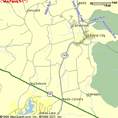
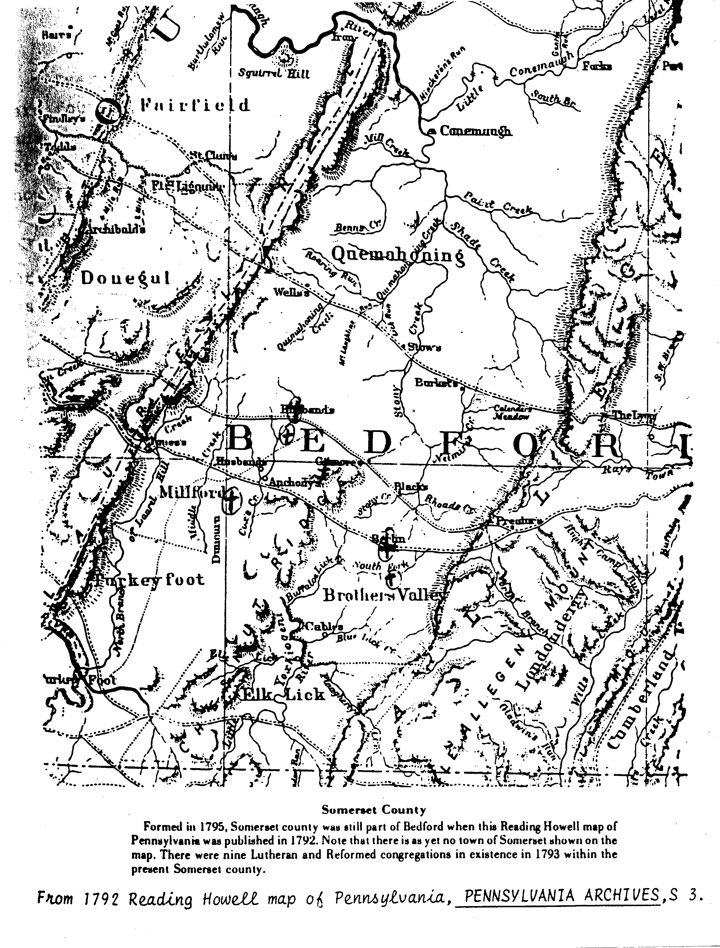
A hand drawn map of Shade Township A general General Map made by Linda Marker. Ed McClelland has created a USGS Survey Map of the township as well. 1792 Reading Howell Map of Somerset Central City Borough Central City, the only incorporated town in Shade Township, is situated on lands originally owned by the township's first settlers, Casper Stotler and George Lambert. It was founded in 1894 by Anthony Wechtenhiser and received its name from its central location along the projected Midland Railroad. The objective was to build a railroad into the large coal field known to exist in this region. The projected railroad, under a preliminary survey made in 1894, would have extended the road southeast along Dark Shade Creek and Shingle Run valleys, across the mountain by way of Frazier's Gap, into Bedford County and eastward to the Atlantic seaboard. However, the project failed to develop. In 1913 an extension to the town was laid out by the Cook and Neasley Realty Company on lands then owned by John Wechtenhiser and Obadiah Lohr. The town was incorporated into the borough of Central City in 1918. The present population is about 2,700. The inhabitants of Central City borough and the surrounding area are served by nine churches, sixteen stores, one hotel, five garages and service stations, three barber shops, a printing house, a photo studio, two funeral homes, a greenhouse, two veterans' organizations-American Legion and Veterans of Foreign Wars, and one financial institution--Central City Bank, a branch of the United States National Bank of Johnstown. The Central City Volunteer Fire Company provides efficient fire protection for both the borough and the surrounding area. The Central City post office was established in 1919, with Joseph Lohr as the first postmaster. A new post-office building was erected in 1962, and Joseph Kudasik, Jr., is the present postmaster. Free mail service was established in the borough in 1955. Free public recreation facilities are owned by the borough, such as a tennis court, baseball held, swimming pool, and a well-maintained park. The Municipal Building, owned by the borough, contains a mayor's office, an office for the chief of police, a council chamber, a large community hall, and a prison room. It also houses the equipment of the fire company. Cairnbrook In the central part of Shade Township is a mining town laid out in 1912 by the Lolayhanna Coal and Coke Company on the Jacob McGregor Farm. It is located on the west bank of Dark Shade Creek along State Route 160. It is the largest unincorporated town in Shade Township, with a present population of 750. The Cairnbrook post office was established here in 1914. The first postmaster was Charles Severn and the present one is Jennings Reitz (as of 1964). The Shade-Central City Union, Junior-Senior High, and elementary schools are located here. The Graef Lutheran Church and parsonage were erected here in 1917-18 at the corner of McGregor Avenue and Third Street. Dorfman and Hoffman established a clothing factory here in 1955, which employs approximately 185 workers at the present time. Cairnbrook, although not incorporated, owns and operates its own water company, sewers and disposal plant, and street lighting, under the management of the Cairnbrook Improvement Company, Inc. Each property owner is a stockholder in the company. All streets are hard-surfaced and lighted. Reitz #2 Reitz #2, a small mining town east of Cairnbrook, just off Route 160, was laid out on the Thomas Mock Farm in 1916 by the Reitz Coal Company. Reitz #3 and #4 Reitz #3 and #4 are small mining towns southeast of Central City, along Dark Shade Creek. Reitz #3 was laid out by John Lochrie in 1916 on the George Manges Farm. Reitz # 4 was laid laid out under the management of the Reitz Coal Company in 1918-19 on the Moses Walker Farm. It is the second largest town in Shade Township. Wilbur Wilbur is a small mining town in the western part of the township, one-half mile off Route 53. The town was founded by the Wilbur Coal Mining Company in 1912 on lands formerly owned by Daniel Peterman and J. E. Johnson. The Otterbein United Brethren Church and cemetery are located here. Rockingham Rockingham is a small mining village along Dark Shade Creek on State Route 160. The village is located on the site of the old Rockingham Iron Furnace, erected in 1841. The village was rebuilt in 1916 by William Gahagen. The Rockingham post office was eastablished in 1922. Gahagen Gahagen is a small mining village in the southeastern part of the township. It was established by the Gahagen Coal Company in 1919. The post office was established in 1922 and closed in 1956. Buckstown Buckstown is a small village in the southern part of Shade Township. The village is located along the Lincoln Highway, formerly known as the Pittsburgh-Philadelphia Turnpike and in colonial times as the "Pennsylvania Road." The part of this village that is south of the Pennsylvania Road is in Stonycreek Township. Israel Burket bought a tract of land here in 1788 from James Wells. Israel's farm was situated right in what would later be called Buckstown on both sides of the Lincoln Highway. He built a 20'x 30' two story cabin on which he was taxed in 1798. If you look at the 1792 Reading Howell map of the area, Buckstown was at that time called "Burket's" and Stoystown was simply called "Stoy's." John Lambert built a house here in 1805. After the opening of the turnpike in 1817, Mr. Lambert built and operated a tavern in the village. Later, when travel became very heavy over the road, he decided to build houses and shops for a number of the mechanics who came here to live and work. Some of these newcomers were William Small, who became the town's first blacksmith, and Henry Buck, a wagonmaker who came to live in the village in 1820. Mr. Lambert also erected a store building, which he leased to John Stotler. Stotler named the village in honor of his friend, Henry Buck. Daniel Wagner, a grandson of Michael Wagner, one of Shade Township's pioneer settlers, owned and operated a store in Buckstown for more than fifty years. Mr. Wagner also served as postmaster of the Buckstown post office for more than twenty-five years until it was closed in 1909. St. Paul's Lutheran Church was erected in Buckstown in 1889 and the Lutheran congregation was organized on April 6, 1890. The charter members of the church were: C. W. Williamson, Levi B. Manges, C. A. Wagner, Ellsworth Ling, John Giger, and Charles W. Lambert. Reverend A. R. Shertz served as the church's first pastor and received an annual salary of $550.
The following tax assessment lists are available online: |
This township is part of the USGenWeb Project, a non-profit genealogical resource web system, and is maintained by Susan H. Jackman with help and information provided by other volunteers.
Last Revised: 18 January 2010
© 2003. Susan H. Jackman for Shade Township, Somerset County, PAGW