|
Honesdale
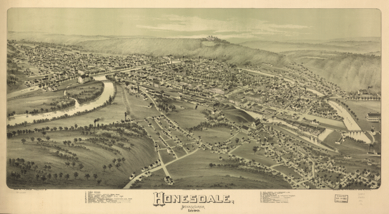
Honesdale, Pennsylvania 1890. Drawn by T. M. Fowler.
A. E. Downs, lith.
Fowler, T. M. 1842-1922. (Thaddeus Mortimer),
CREATED/PUBLISHED
Morrisville, Pa., T. M. Fowler & James
B. Moyer [1890]
NOTES
Perspective map not drawn to scale.
Bird's-eye-view.
Reference: LC Panoramic maps (2nd ed.), 790
Indexed for points of interest.
SUBJECTS
Honesdale (Pa.)--Aerial
views.
United States--Pennsylvania--Honesdale.
RELATED NAMES
Downs, A. E. (Albert E.)
Moyer, James B.
MEDIUM
col. map
42 x 86 cm.
CALL NUMBER
G3824.H74A3 1890 .F6
REPOSITORY
Library of Congress Geography and Map Division Washington, D.C. 20540-4650
USA
DIGITAL ID
g3824h pm007900
http://hdl.loc.gov/loc.gmd/g3824h.pm007900
Return to Township Index Page
Return to Home Page
Compilation Copyright Linda Blum-Barton
August 2008 - Present - All Rights Reserved.
This site was
last updated on -12/30/2012

|